Measuring Main Streets
street

Toronto

Regional Report

Vibrant main streets are essential to building strong neighbourhoods. Strong neighbourhoods are essential to healthy cities. And healthy cities are the foundation of a strong country. Over six million people live in the Toronto region, and 98% of them reside within 1 km of a main street. Toronto’s main streets host over 33,000 businesses that employ 290,000 people and generate over $41 billion in revenue per year. There are also over 13,000 sites of civic infrastructure on main streets.

Main street businesses and civic infrastructure play a crucial role in the day-to-day lives of residents. But when main streets suffer, people suffer. The COVID-19 pandemic created significant pain on main streets, leading to the closure of businesses, and subsequently, to empty storefronts. While some main streets in the Toronto region have rebounded, many have not fully recovered.

Our research shows that the most resilient main streets are those most closely aligned with their immediate local community. Opportunities for independent business and neighbourhood scale civic infrastructure are key building blocks for pushing back against longer-term threats to main streets, such as ecommerce and regional shopping centres.

Unfortunately, community resources are not equitably distributed within urban regions, including in the Toronto region. And, in more recently built suburban neighbourhoods that have not been developed around a main street, there is a scarcity of civic infrastructure. This research brief looks at main streets in relation to resiliency, community, and equity, drawing on 20 Toronto-region main street case studies.

Toronto Case Study Main Streets

Twenty main streets were chosen in the Toronto region as representative case studies. Ten involved direct observational research and detailed data analysis, and ten provide the data component alone.

The case studies were also contrasted with five regional shopping centres.

In addition, we selected main streets that reflect a cross section of geographies, including four downtown (workplace oriented) streets, four small town main streets, and 12 neighbourhood (residentially oriented) main streets.

The presence of equity deserving communities was also a key factor in the selection process.

Downtown Main Streets
Neighbourhood Main Streets
Small Town Main Streets
Malls

Main Street Resiliency

While all Toronto-region main streets experienced serious downturns during the pandemic, some were hit harder and took longer to recover.

Our statistical analysis shows that the most resilient main streets were those that draw a high proportion of their visitors from the immediate neighbourhood (within 1 km). Conversely, the least resilient main streets tended to draw a greater share of their visitors from further away.

Main streets located in and near downtowns tended to be hit harder by the pandemic and took longer to recover. The second most important factor associated with resiliency during the pandemic was the presence of greenspace, as people sought out safe places where a degree of social interaction remained possible.

Among all 20 Toronto-region main streets, those in small towns were generally the most resilient, with Sutton and Caledon East leading the way. The most resilient neighbourhood main street was Thorncliffe Park, which had a high level of visitors (30%) coming from less than 1 km away. More car-oriented main streets such as those in Pickering, Markham, Scarborough, and Mississauga were less resilient and only drew between 9%–12% of their visitors from nearby.

The least resilient main street was in Toronto’s Liberty Village neighbourhood. This Business Improvement Area is to the west of the city’s central business district and contains many high-tech employers. This industry continues to be at the forefront of the work-from-home trend. Liberty Village is also a relatively new residential neighbourhood that has lower levels of civic infrastructure (i.e., no school, library, recreation centre), especially relative to other central parts of the city.

Visitor Levels (%) relative to the same month in 2019

Downtown Main Streets
Malls
Neighbourhood Main Streets
Small Town Main Streets

Main Street Community

While the pandemic posed a major challenge to Toronto-region main streets, there are longer-term sources of strain that continue.

Regional shopping malls and ecommerce offer alternatives to many of the goods and services offered on main streets. Shopping malls were initially hit harder by the pandemic due to the effects of hard lockdowns, but typically rebounded faster. The use of ecommerce spiked from 2020 to 2022 before returning to its (more modest) historic upward trend in 2023.

Despite a degree of overlap between main streets and shopping malls and ecommerce, there are also significant differences. Main streets offer more opportunities for independent business and provide more civic infrastructure. Both can be more responsive to the specific needs of the local community, and the relationships forged through the interactions of residents, business operators, and managers of civic infrastructure are essential for the long-term vitality of main streets.

The five Toronto-region shopping malls clearly have a scarcity of both independent businesses and civic infrastructure, ranking below all main streets on both scores. Of the Toronto case studies, Newmarket, Oakville, and Weston stand out as having higher shares of both independent business and civic infrastructure. Each of these are examples of main streets that originated in smaller towns that eventually became subsumed by urban sprawl. Despite being in suburban locations, these main streets are dense and walkable. There are multiple conditions present that are conducive to building strong local communities.

The Golden Mile (Scarborough) and Kingston Road (Pickering) are main streets at the other end of the spectrum. These are places with less independent business and civic infrastructure that are heavily car-oriented and characterized by big box retail and chain restaurants. Such main streets do not possess a clear identity and are less likely to be created for and by the local community.

Independent Business Rank (x-axis) vs. Civic Infrastructure % Rank (y-axis)

Downtown Main Streets
Neighbourhood Main Streets
Small Town Main Streets
Malls

Main Street Equity

Main streets contain the businesses and civic infrastructure that are essential for the day-to-day lives of residents. They make people’s lives better, easier, and more enjoyable – the foundation of local communities where people come together, interact, and form relationships.

Unfortunately, not everyone enjoys equal access to main streets and what they have to offer. In some cases, main streets lack critical civic infrastructure, but more pointedly, some neighbourhoods lack main streets altogether. Our analysis shows that more recently built suburban neighbourhoods are where civic infrastructure deficits are most prevalent.

Our Civic Infrastructure Index, which considers the amount of local (within 1 km) civic infrastructure relative to the local population, shows that newer Toronto-region neighbourhoods in places like Brampton, Mississauga, Halton, and Pickering tend to have lower levels of local access to civic infrastructure relative to the regional average. Central Etobicoke and the former City of York are examples of older, established neighbourhoods that also possess lower levels of civic infrastructure.

Downtown Toronto is at the other end of the spectrum, with much higher levels of civic infrastructure, as it is home to many regionally significant assets. Fittingly, Downtown Yonge and Spadina-Chinatown are the case studies that score the highest on our Civic Infrastructure Index. The centres of many suburban communities and satellite towns also score well above the median. The main street case studies that are most exemplary in this respect are Oakville, Newmarket, and Markham.

The core issue not only about the overall amount of civic infrastructure, but how it is geographically distributed within urban regions. There is a danger of creating “have and have-not” neighbourhoods with divergent levels of local access to civic infrastructure, which in turn decreases the amount of control residents with less access to civic infrastructure have over programming. In such a scenario, civic infrastructure is less responsive to specific neighbourhood needs.

The civic infrastructure deficit in recently constructed suburban neighbourhoods is not about the amount of investment, but rather models that favour large, centralized sites over smaller diffused locations. Like the trend toward big box retail in suburban environments, civic infrastructure provision has charted a similar path. These models may be more fiscally efficient in the short term, but they come with reduced community development and neighbourhood equity in the long term.

Civic Infrastructure Index (Lowest Quintile) in relation to High Density Main Streets

Summary

Our research assesses main streets by their resiliency, community, and equity. We suggest that if the traits of specific main streets can foster these elements, they will nurture healthy neighbourhoods. If this is done consistently across Canada’s urban regions, they will provide the foundation for healthy cities.

There is no such thing as a “perfect” main street. There are a multitude of ways in which they can produce resiliency, community, and equity. Our research does, however, point toward general principles about main street characteristics that are more likely to generate positive outcomes. We have created indicators that most closely capture the essence of these themes: a Resiliency Index based on the relative change in visitor levels to a main street through the pandemic and the share of visitors that live within 1 km of the main street; an Independent Business Index; and a Civic Infrastructure Index that weighs the amount of infrastructure relative to the size of the neighbourhood population.

The Toronto region is a thriving metropolis that offers one of the highest quality of life environments compared to its global peers. The region has traditionally been credited with having strong neighbourhoods with distinct identities. At the centre of these neighbourhoods are vibrant main streets that provide a range of goods, services, and activities that support people in their day-to-day lives. No two main streets are the same, however; their specific locations and characteristics have significant impacts on the range of local choices and opportunities for residents.

downtownyonge
Downtown Yonge
weston
Weston

Summary (II)

The Toronto-region main streets that most consistently score the highest across the key indicators tend to be long-established neighbourhood streets that primarily serve their immediate local community with a range of independent businesses and civic infrastructure. Etobicoke Lakeshore and Kingston Road (Scarborough) are “inner” suburban locations that are relatively walkable but also accommodate car use. They also offer a mix of housing types that cater to a range of income levels. These main streets were originally built (pre-1960) in conjunction with the surrounding housing stock and have co-evolved with physical and demographic changes.

Key to this is the original built form and how adaptable it is over time. In the current context, such main streets offer prime opportunities for infill housing as they already provide ample supportive infrastructure.

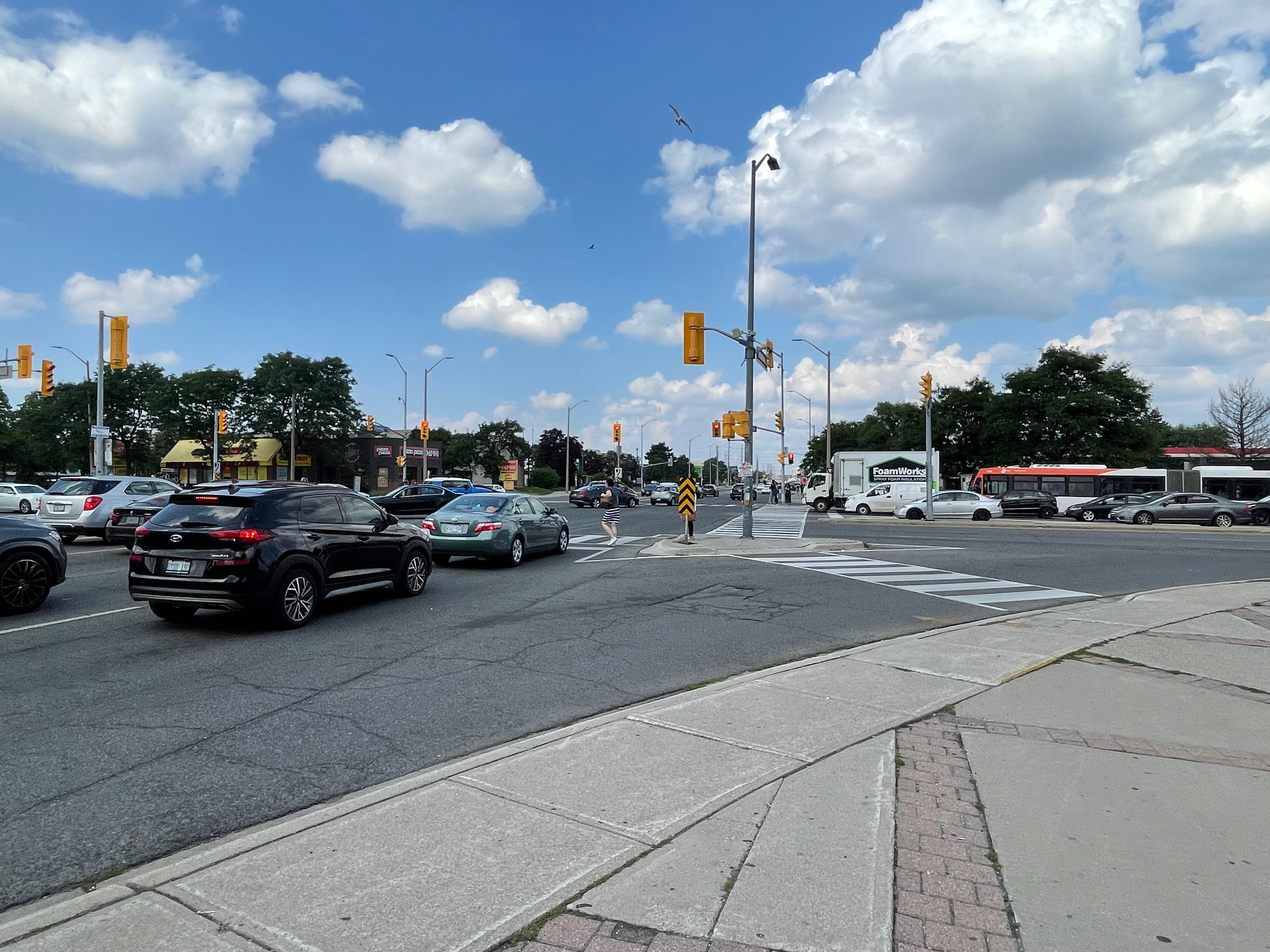
At the lower end of the spectrum are main streets that are heavily car-dependent places with large format (big box) retail and offer limited civic infrastructure. Such main streets tend to serve a larger catchment area and possess fewer independent businesses. Dundas Street (Mississauga), Golden Mile (Scarborough), and Kingston Road (Pickering) are main streets that are designed to accommodate cars and are dominated by large parking lots. These places are among the least resilient main streets and draw a lower share of visitors from their surrounding neighbourhoods.

While the form of these places is not conducive to adaptive reuse of existing buildings, they do tend to be highly suitable for larger scale redevelopment. Golden Mile is an extreme example of this, as there are applications for more than 30,000 housing units in process, due to the imminent opening of the Eglinton Crosstown light rail transit line. While there are tremendous opportunities associated with this intensity of urbanization, the test will be in how well it is done, rather than how much is built. Our research shows that there are many learning opportunities about building vibrant main streets from Toronto’s own past.

kingstonroad
Kingston Road
missdundas
Dundas Street, Mississauga

The Measuring Main Streets platfrom (part of the Research Knowledge Initiative program from Housing, Infrastructure and Communities Canada) was developed by the Canadian Urban Institute in partnership with Environics Analytics and Open North.

Canadian Urban Institute Canadian Urban Institute Environics Analytics Open North